OUR PROGRAMS
Satellitaire TRACKING
Understanding turtle migrations though satellite tagging
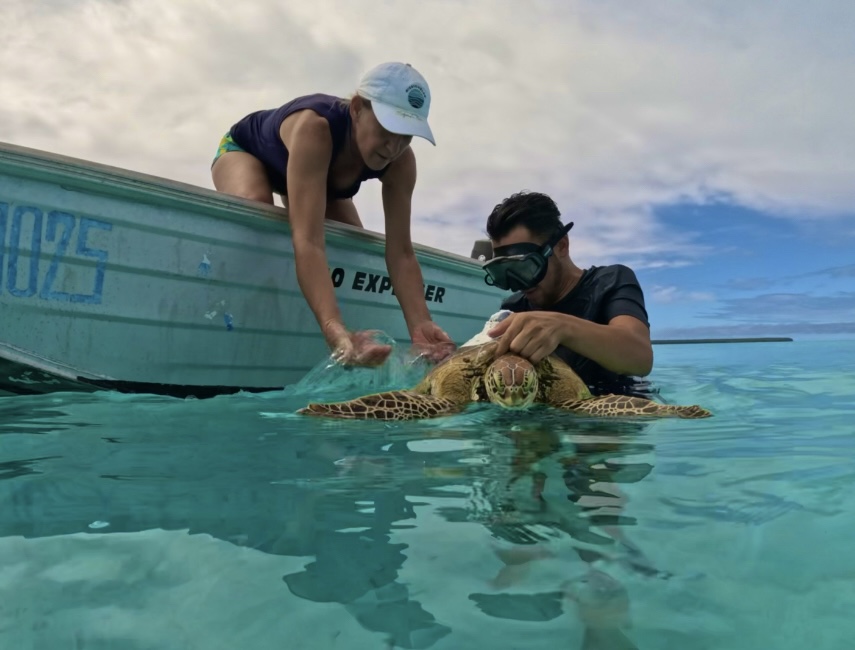
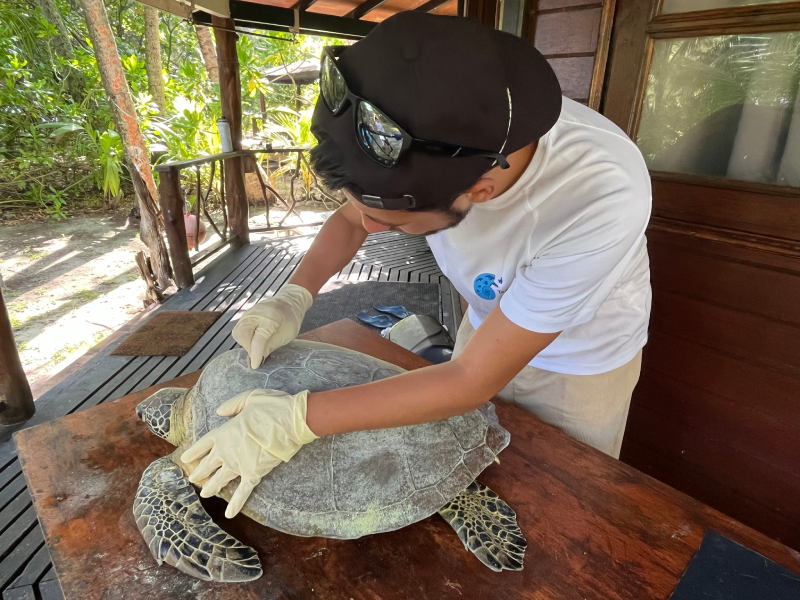
Since 2006, continuous efforts have been made in French Polynesia to better understand the movements and behaviors of sea turtles through satellite tracking.
In 2024, the association Te mana o te moana was commissioned by the DIREN (Department of the Environment) to carry out a comprehensive review of satellite tracking conducted in the territory.


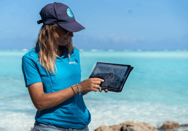
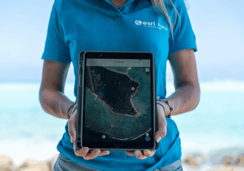
The objective of this study: to centralize, standardize, and analyze nearly 20 years of data collected on sea turtles equipped with satellite tags, in order to identify their migration routes, at-sea behaviors, and interactions with oceanographic features of the Pacific.
A groundbreaking analysis of 41 tagged turtles
This project came to fruition thanks to the collaboration between DIREN and NOAA, who provided their valuable data. In total, 41 individuals (adults and juveniles) equipped with tags were studied. These analyses provide new insights into the migratory strategies of sea turtles in French Polynesia.
KEY RESULTS OF THE STUDY
Adult green turtles nesting at Tetiaroa undertake an impressive trans-Pacific migration, traveling from east to west towards the Fiji Islands, their main feeding area.

Juvenile turtles, on the other hand, remain near the coasts of islands and atolls, where they continue to grow and develop until they reach sexual maturity.

A SCIENTIFIC TOOL FOR CONSERVATION
This satellite tracking is an essential tool to strengthen sea turtle protection efforts in French Polynesia. It allows for better targeting of critical areas to be preserved, identifying potential threats, and adapting conservation strategies at the Pacific scale.

